A world globe makes an elegant addition to any office or home. These spherical objects give us a stunning close-up view of our planet Earth and encourage curiosity, exploration, and spatial awareness. How do I find the correct world globes?
Globes are three-dimensional representations of our planet that illustrate relationships more accurately than GPS, Google Maps, or flat maps. Furthermore, globes come in a range of styles and have various cartographic features to highlight them.
The History of Globes
From Crates of Mallus’ early spherical maps of the world to modern globes made in the 1930s, globes have long been used as tools of exploration and understanding of our planet. Globes provide more accurate cartographic representation than maps by depicting it in three dimensions instead of flattening it into two-dimensional forms.
Globes provide an engaging way for students to gain a better understanding of the world than simply viewing an image on a computer screen. Students can see first-hand where all their studies of world events take place—physically! Globes allow students to see landmasses and seascapes first-hand while learning longitude and latitude and about country connections through physical representations of these features.
A decorative world globe can add style and ambiance to your home or office. It is also an educational tool that will foster curiosity. A world will add vibrancy and depth to any room!
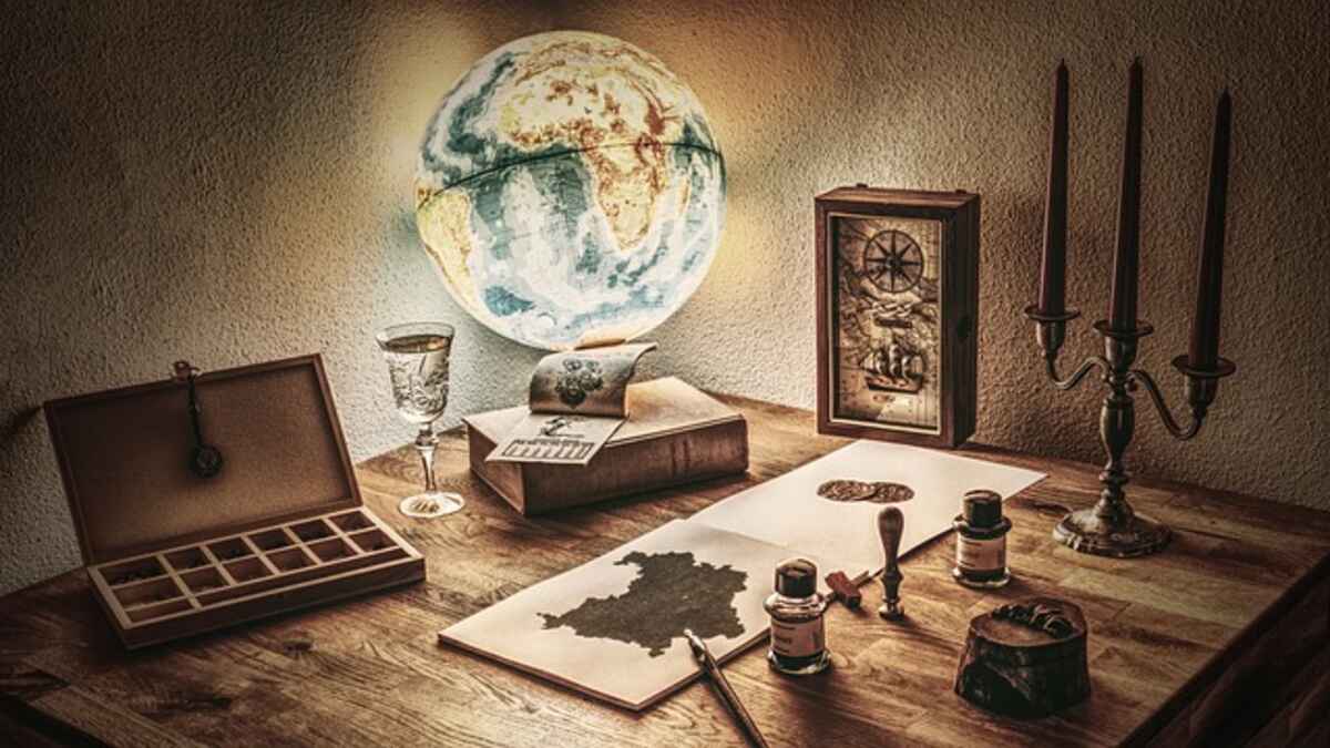
Illumination
Illuminated globes differ from conventional world maps in that their mesmerizing glow allows for easy viewing even in dimly lit rooms and classroom settings – an invaluable asset!
Even though illuminated globes require access to power sources, their setup is typically straightforward. Just locate the tab or screw or (for plastic meridians) pull-up to expose the light kit. Note that specific models limit wattage usage so as not to damage cartography.
Some models, such as the Livingston, Bradley Blue Illuminated, and Dresden, provide dual mapping features. These features allow students to reveal additional map details by turning off or on their lamps. This feature makes learning at night possible for students who may need to continue learning until the late hours of the night.
Raised Relief
Raised maps use shading and visual relief to portray terrain accurately, making this enhanced map style popular with explorers and travelers who use it to help determine elevation levels and geographical details about their destinations.
Raised relief globes feature small elevation rises representing mountain ranges from around the world, making for an exciting feature; however, it should be remembered that these shapes do not accurately portray reality and may trade accuracy for texture.
Get an authentically textured globe with this exquisite 16″ raised-relief world globe featuring a parchment-style ocean. A richly detailed hardwood stand and antique-plated full die-cast meridian complete the design for an eye-catching centerpiece in any home or office setting.
Continents & Countries
World globes provide students with a more accurate representation of geography by depicting its three-dimensional structures. They show students their relative sizes and distances from one another and provide the context for comparisons on flat surfaces.
Integrate a world globe into your classroom to teach students about the variety of countries, cultures, and traditions found around the globe. A globe can also serve as a great motivator to encourage your pupils to explore more about our globalized society.
Size & Scale
World globes are three-dimensional representations of our globe, unlike maps, which attempt to reduce it down to two dimensions. This gives them superior cartographic accuracy compared to maps; continents appear proportionate and adequately sized, while on maps, they often seem smaller and further apart than they actually are.
Our collection of world globes for desktop and floor use boasts desktop and floor models featuring various styles, construction approaches, and popularly sought-out features such as raised relief and internal illumination. In addition, we carry novelty globes, such as an eye-catching semiprecious gemstone model—perfect as a present!
Material & Construction
Globes provide more accurate cartographic representation than maps, which only show flat surfaces of Earth.
Craftspeople assembled terrestrial globes using traditional wood cutting and metal engraving techniques. Once complete, they were covered with linen or vellum, onto which cartography could be engraved or printed.
Modern globes are constructed using thermoplastic. A flat disk printed with an inaccurate map of one of Earth’s hemispheres is placed into a machine that molds it into a globe shape. Technicians at every production step are responsible for rejecting products that fail to meet quality standards, eliminating waste in this highly efficient and eco-friendly process of globe-making.
Design & Aesthetics
Globes make striking visual displays and can serve both as maps and displays of geographic significance. Since Frisius first coined his term for Globetanism in 1584, globes have attracted both aesthetic and economic admiration due to their depictions of important geographical, political, or economically essential locations on their surface.
Whether they have lights or not, decorative globes add warmth and ambiance to any interior space. Illuminated globes bring cartographic features alive with equally captivating and vibrantly hued maps.
Your display plans are crucial when purchasing a globe; they will determine its size, special features, and more.
Read also: The Ultimate Present: Unlocking Bliss with Cleaning Gift Certificates.